Survey & Data Consultant was established in 2009 to provide professional Hydrographic
and land surveying services by combining years of experience and up to date surveying
equipment to ensure consistent, accurate and timely survey data and mapping.
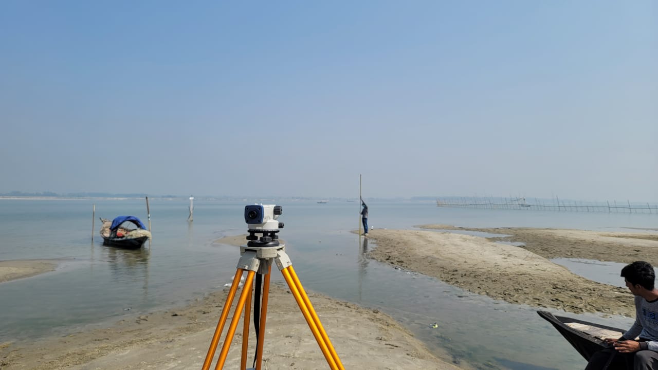
The services of SDC cover a wide range of advanced and data activities in the field of
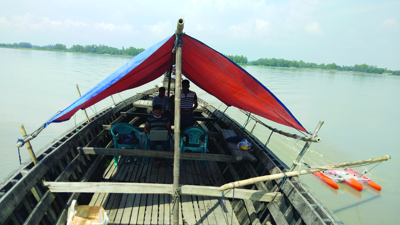
Topographic and Hydrographic survey using modern sophisticated survey equipment’s. SDC
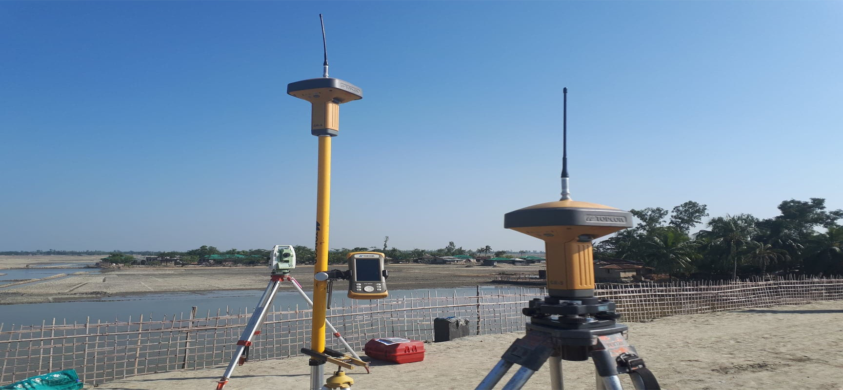
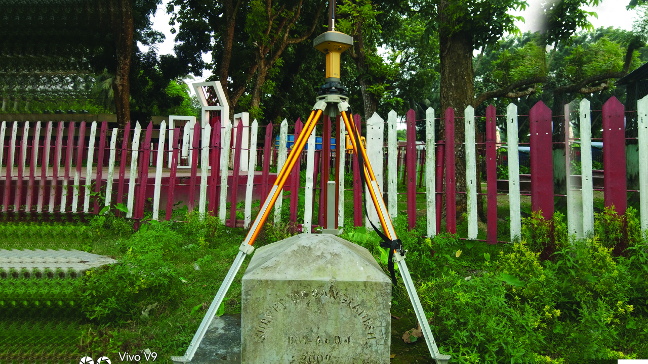
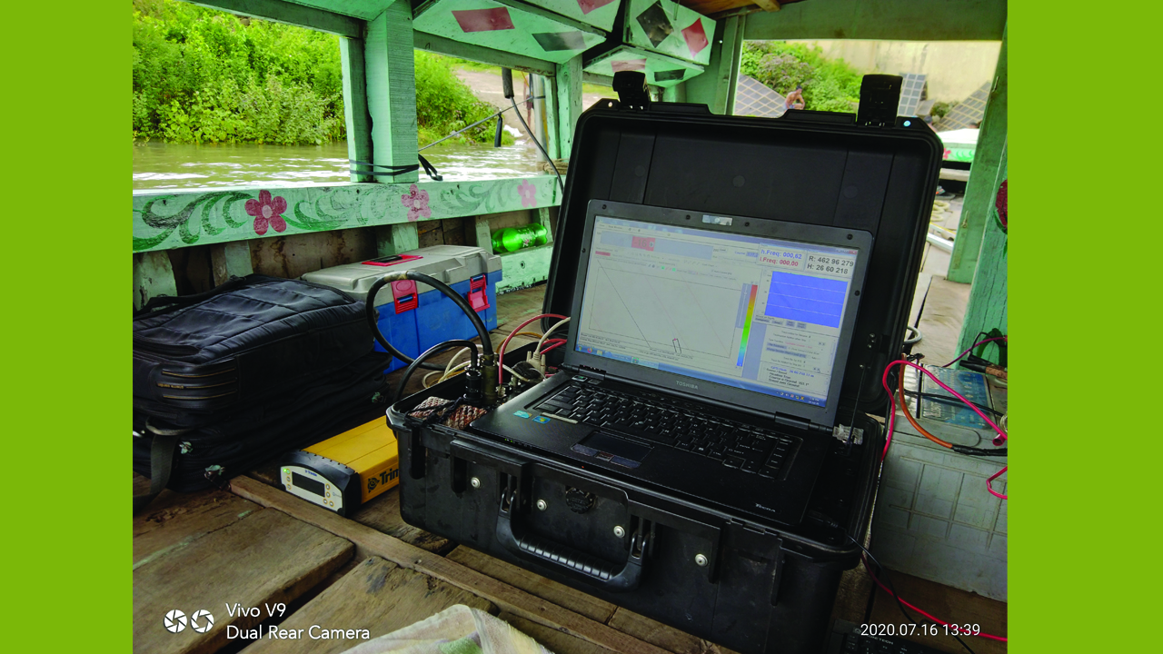
utilizes Global Positioning System (GPS) based advanced survey technique for the survey and
data collection campaign. Use of GPS technology coupled with other state-of-art survey
equipment’s, software and technique supported by Geographical Information System (GIS)
and remote sensing enable SDC to acquire field data and information in a relatively short
time compared to traditional method.